Dothan, AL
Advertisement
Dothan, AL Map
Dothan is a US city in Houston County in the state of Alabama. Located at the longitude and latitude of -85.407222, 31.227222 and situated at an elevation of 98 meters. In the 2020 United States Census, Dothan, AL had a population of 71,072 people. Dothan is in the Central Standard Time timezone at Coordinated Universal Time (UTC) -6. Find directions to Dothan, AL, browse local businesses, landmarks, get current traffic estimates, road conditions, and more.
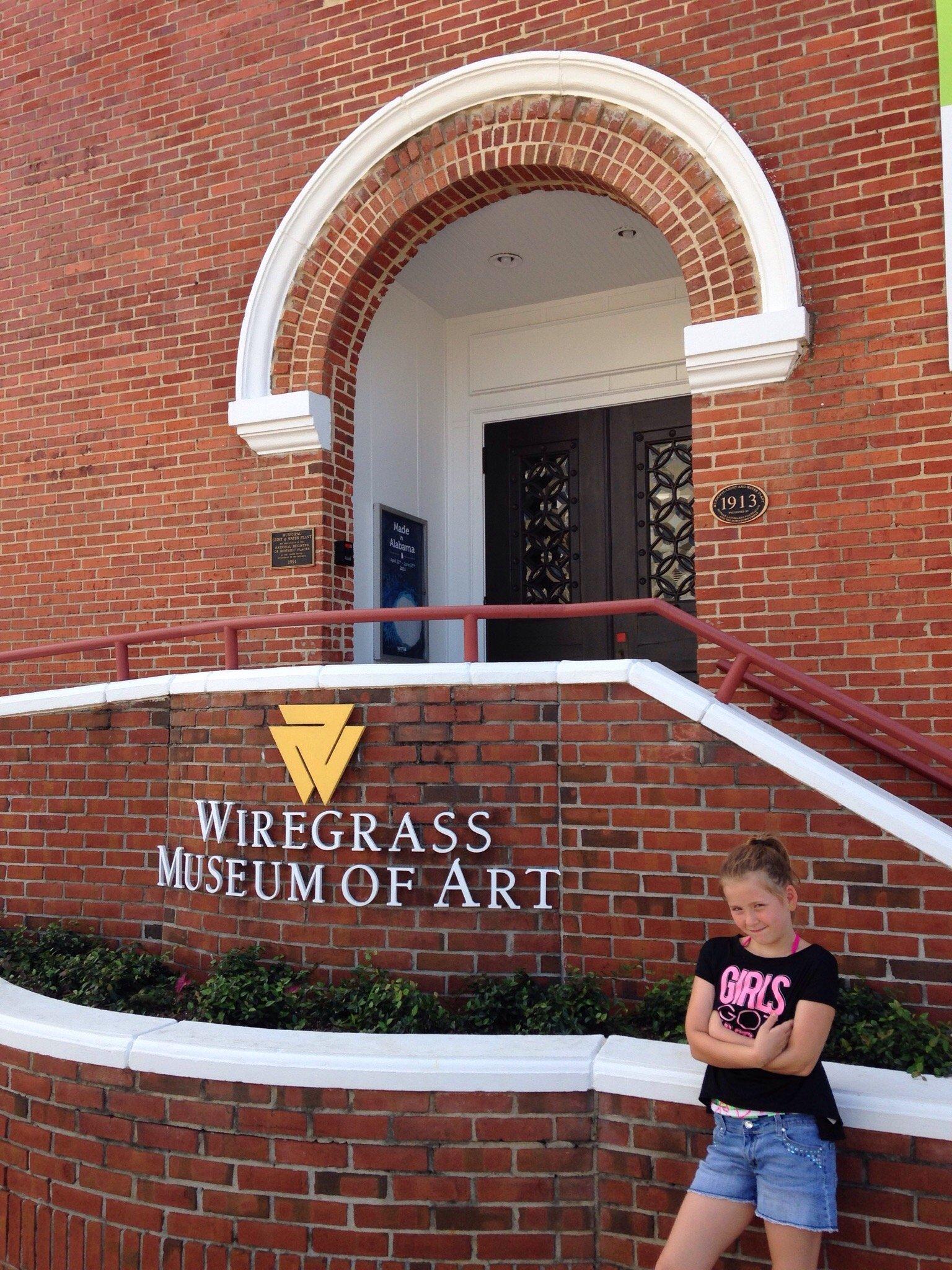
Dothan, Alabama, is often referred to as the "Peanut Capital of the World," a nod to its significant role in peanut production and the annual National Peanut Festival it hosts. This city is steeped in agricultural history and is a pivotal hub for peanut farming, which is celebrated with enthusiasm each year. Beyond its agricultural acclaim, Dothan boasts a charming downtown area with a mix of historic and modern attractions. The Dothan Area Botanical Gardens offer a serene escape with its beautifully curated gardens, while the Wiregrass Museum of Art provides a cultural touch with contemporary exhibitions.
History enthusiasts will find interest in Dothan's origins as a small trading community, which has grown into a vibrant city with a rich Southern heritage. The Murals of the Wiregrass, scattered throughout downtown, artistically depict the history and culture of the region, providing a visual journey through time. For family-friendly fun, Adventureland Theme Park offers mini-golf, go-karts, and other attractions. Dothan's blend of historical significance, agricultural pride, and modern attractions makes it a unique destination in the heart of Alabama.
Nearby cities include: Taylor, AL, Grimes, AL, Kinsey, AL, Cowarts, AL, Napier Field, AL, Midland City, AL, Webb, AL, Avon, AL, Malvern, AL, Headland, AL.
Places in Dothan
Dine and drink
Eat and drink your way through town.
Can't-miss activities
Culture, natural beauty, and plain old fun.
Places to stay
Hang your (vacation) hat in a place that’s just your style.
Advertisement


